 |
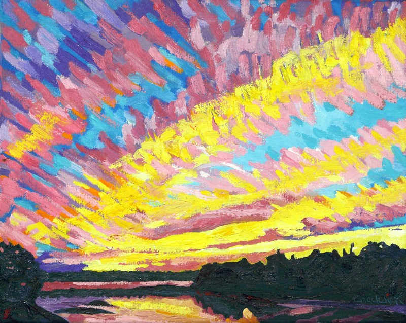
| #2203 "Langmuir Streak Sunset" Pixels Link |


The atmosphere is just an ocean of air. When forecasting and observing the weather, one routinely observes rows of stratocumulus and cumulus in long streets paralleling the wind. Snowsqualls coming onshore off the Great Lakes have a similar structure. Why should these constructs be any different from the oceanic Langmuir Streaks?
I regularly witnessed atmospheric Langmuir streaks while I was painting warm conveyor belts en plein air in the mid 1990’s. I saw parallel streaks of cirrus that stretched along the wind direction. I wondered how those lines of thicker cloud might be explained. They were certainly not deformation zones which were and still are my go-to answer for any line in the sky. Could these cirrus formations be Langmuir processes as well?
 |
| The streaks of smoother and more reflective water I presume are the down-welling circulations induced by the wind and the associated flow in the lake. |

• There is a stable layer (tropopause among many others to confine the helical circulations).
• There is a current in the fluid (jet stream among many others).
• There is a material to make the primary current and secondary circulations visible (algae, water vapour and cloud).
• Helical circulations roughly paralleling this current creates areas of convergence, divergence, updraft and downdraft.
• The natural patterns are beautiful whether in the water or in the sunset sky.
Do be honest, I have constructed vorticity chains that create elongated deformation zone skins that parallel the flow. When smoothed over time and space these deformation zones form the edges of moisture streaks in the atmosphere – a kind of continuous smoke ring – more like a smoke tube. This conceptual model could also explain the observed moisture streaks. I prefer to let nature reveal which conceptual model might be more apt.
The answer could also be found by simply examining the actual circulations of these cloud shapes in closer detail. Jochen, a wonderful friend from EUMETSAT who specialized in time lapse photography of weather as well as RGB satellite imagery, probably has the answer. We learned a lot form each other. We are both retired now but it would not hurt to ask!
Moisture patterns and conceptual models are generally scalable with the size of the atmospheric processes that create them. Vortices of all sizes behave in pretty much the same way.
Warmest regards and keep your paddle in the water,
Phil the Forecaster
No comments:
Post a Comment